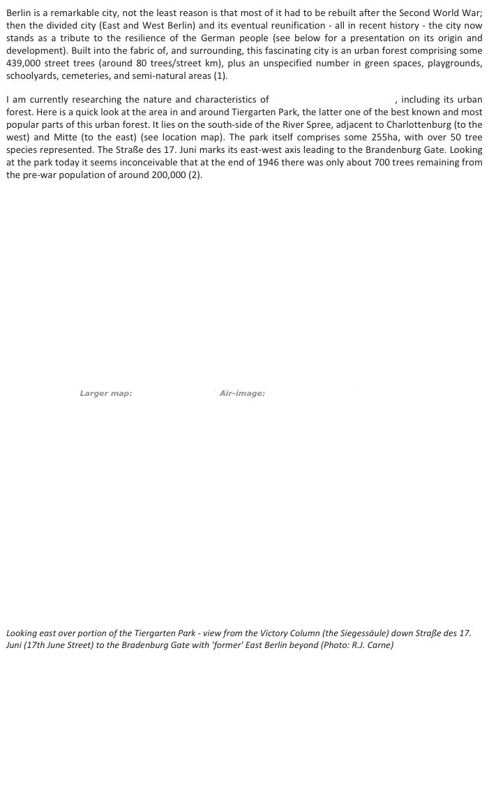
Berlin’s Urban Forest


Taking a broader (larger scale) view of Berlin’s forests and green infrastructure in general, it is apparent that the city sits within (and interacts with) a landscape of forests and lakes, not the least important element being the extensive Green Wood (Grünewald), which occupies some 3000 ha on the western edge of the city.
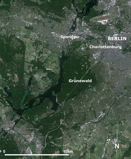
(Image: GoogleEarth, DigitalGlobe&GeoBasis-DE/BKG 2017).
Enlarging the view even further, it is evident that the Regional Parks Berlin–Brandenburg (below) provide a greenbelt separating Berlin from neighbourhood communities, acting to protect the peri-urban landscape from urban sprawl and conserve land for recreational purposes (3, 4).
(Source: adapted from Kuhn 2003).
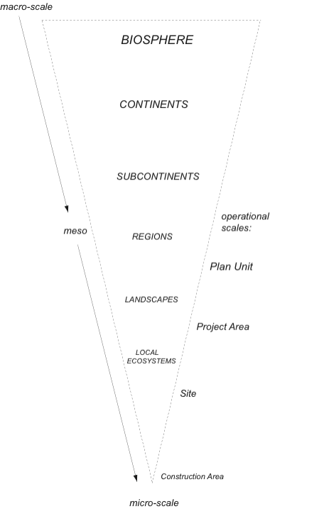
The foregoing suggests that to fully appreciate green infrastructure one needs consider its manifestation across a range of landscape scales. Indeed, the GI assets supporting the urban system can be located many kilometres away and well within the surrounding rural lands. All this points to the need for a ‘multi-scale approach’ to green infrastructure planning. Just how those scales are defined is a critical question – some suggestions are presented in the diagram below, from the macro to micro. All are relevant to green infrastructure. However, in practice the meso to micro scales attract the most attention, due largely to the fact that most planning authorities have responsibility for relatively small tracts of the earths surface, notwithstanding the fact that issues like climate change are probably best addressed at the macro-scale. The ‘operational scales’ provide the focus for much contemporary green infrastructure planning and management. They span the ‘region-landscape-local ecosytems’ scales starting somewhere at the sub-regional level.

References:
-
(1)Senate Department of Urban Development and the Environment, 2014. City Trees. Available: http:// www.stadtentwicklung.berlin.de/umwelt/stadtgruen/stadtbaeume/index_en.shtml (21 February 2012).
-
(2)Tate, A. 2013. Great City Parks (Taylor & Francis: London).
-
(3)Hansen, R. 2015. Green Surge: Berlin, Germany, in R Hansen, M Buizer, E Rall, Y DeBellis, C Davies, B Elands, F Wiersum & S Pauleit, Green Surge: Report of Case Study City Portraits, EU Seventh Framework Programme, pp.140-152. Available: http://greensurge.eu/products/case-studies/ (9 August 2016).
-
(4)Kühn, M. 2003. Greenbelt and green heart: separating and integrating landscapes in European city regions, Landscape and Urban Planning, no. 64, pp.19-27.
Links:
DeutscheWelle/Environment: Trees in the streets of Berlin. Like other native German species, lindens are having increasing problems coping with hot, dry summers and bitterly cold winters, as well as pollution from cars and the large amounts of road-salt that end up in the soil. The trees in the city are under stress. http://dw.de/p/1A7DB